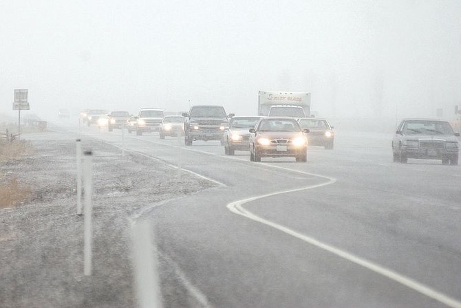
Drivers clogged Carson City roads during periods of heavy hail Thursday as a late winter storm interrupted spring. Photo by Brian Corley
While skies will clear starting today, it's not quite time to uncover the plants.
Low temperatures should hover just below freezing for the next three days, with high temperatures in the 50s and 60s.
Thursday's wintry weather was the end of a storm front that moved into the region, dumping up to 11 inches of snow in parts of Lake Tahoe and surprising Carson Country with a dusting of the white stuff two mornings in a row.
In Carson City, snow fell continually throughout the day. By late afternoon sunlight was peeking over the mountains from a cloudy blue sky.
"Snow showers remain scattered over the area as the upper low is over us," said Gary Barbato, a hydrologist with the National Weather Service.
Barbato said the chance of precipitation today is about 20 percent. Saturday sees a high of 50s to low 60s and Sunday sees upper 50s to mid 60s.
Temperatures dropped dramatically this week, from last week's highs of low 60s.
"In the first part of the month we were running 14 to 16 degrees above average. Thursday was 26 degrees below average for the high."
Barbato said Saturday is expected to be partly cloudy and then mostly clear by Sunday.
Although seemingly unusual for April, this week's snow storm is actually pretty common, Barbato said.
"Its not normal, but definitely happens quite often," Barbato said.
Snowfall reached its most extreme April recording in 1931, when 12.7 inches hit the valley floor.

Comments
Use the comment form below to begin a discussion about this content.
Sign in to comment