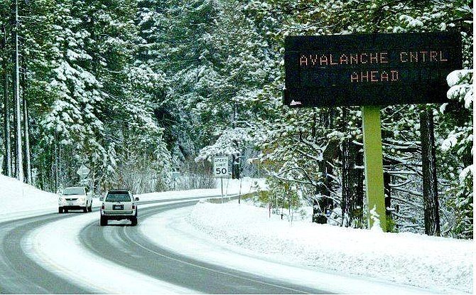
Emma Gerrard/North Lake Tahoe Bonanza A sign at the base of the Mt. Rose Highway in Incline Village warns motorists of avalanche danger.
The National Weather Service has issued a flood watch for the Carson City-Minden-Reno area beginning this evening through Saturday afternoon - and city officials are taking the report seriously.
Using a scale of 1 to 6, with 6 being an area with "extreme" flood potential, Carson has been rated as a 4, or "high" potential spot during this period because of the "abundant subtropical moisture and unseasonably high snow levels," the service reported.
Adding to this concern is ground already saturated after recent heavy rains and a lack of mature vegetation in many of the hills.
Most of the area should receive rain, but the Sierra Nevada's higher elevations could get 2 to 3 more feet of snow by Saturday morning in areas already being watched for avalanche dangers.
In Eagle Valley, officials are keeping watchful eyes on the Carson River and other smaller waterways, especially Clear, Ash Canyon and Kings Canyon creeks.
"This is a significant rain event for us," said Fire Chief Stacey Giomi. He and a group of key city personnel from the Fire, Sheriff's, Public Works and Parks and Recreation departments met Thursday afternoon to prepare for the storm.
Ash Canyon Creek, for example, was running at 40 times its normal capacity last week as a result of heavy rain at that time.
Ash Creek cuts a long swath through the community. It runs through Mills Park, next to Carson High School, through Lompa Field past the wastewater treatment plant and into a retention basin before it reaches the Carson River.
There is a slew of storm drains in this section of the city alone and the entire storm water collection system is connected, said Andy Burnham, development services director.
Burnham and others working for the city worry that the heavy rain could overtax the system and cause spot flooding around the city, with extra concern for areas on the west side.
Conditions differ from those that contributed to New Year's Day flooding of 1997 because there isn't a large amount of accumulated snow. But damaged land only beginning to heal after the Waterfall fire could add to rain-related problems.
The nearly 9,000 acres burned in the July 2004 fire could benefit from the storm by providing the new growth with ample water. The rain could just as likely cause mud and other debris to flow from the area into storm drains, Burnham said.
"It won't take long to get us to capacity," Giomi warned. And the water "moves through most of the city."
Residents are asked to remove debris blocking storm drain grating so water will move as freely as possible. And while city employees will be looking for potential hazards, residents are asked to call the city if something doesn't look right. This could include water buildup or water that is very muddy.
The weather warning, issued Thursday morning, extends throughout the wider region of western Nevada and northeast California.
Forecasters said the snow level will rise to 8,000 feet today with winds up to 95 mph over mountain ridges. By tonight, snow levels may fall to about 7,500 feet and accumulate as much as 2 to 3 feet above the 8,000-foot level.
Another storm is expected to arrive Sunday, bringing more rain to Carson City.
--Contact reporter Terri Harber at 882-2111, ext. 215 or tharber@nevadaappeal.com.
Road Conditions
For winter road conditions:
Call 1 (877) 687-6237
On the Net
Nevada Department of Transportation:
www.nevadadot.com

Comments
Use the comment form below to begin a discussion about this content.
Sign in to comment