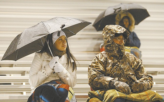
Shannon Litz/Nevada Appeal
Two low-on-moisture, high-on-cold storms are forecast to zero in on Northern Nevada this weekend, with a third eyeing the area around the middle of next week.
Between a half-inch and an inch of snow was expected to be on the ground by midday today, National Weather Service meteorologist Rhett Milne said Thursday afternoon.
And, he said, another inch is expected to fall between Saturday night and Sunday morning.
The forecast also has today's high temperature at 20 degrees lower than Thursday's, right around 40 degrees. The temperature isn't expected to break 45 until at least Monday, when the weather service expects a high in the upper 40s. Milne said the cold front should start to dissipate Monday and Tuesday.
"We'll be under a pretty cold air mask, probably the coldest we've had so far this fall in terms of high temperatures," Milne said.
The lows through Monday are expected to mostly hover in the mid-to-low 20s.
"These are cold storms with fairly low snow levels," Milne said. "These aren't strong storms by our typical winter storm standards."
The forecast gets murkier later next week, with the third storm not guaranteed to hit the area. If its course from the Gulf of Alaska falls short of the Eagle Valley, then temperatures could pick back up to the 50s by the middle of the week; if not, the area could be in for another cold snap.
As for preparations, Milne suggests to make sure your home is winterized and, if roads are slick, drive slower.
For a complete forecast, see page A23.

Comments
Use the comment form below to begin a discussion about this content.
Sign in to comment