Jim Grant / Nevada Appeal
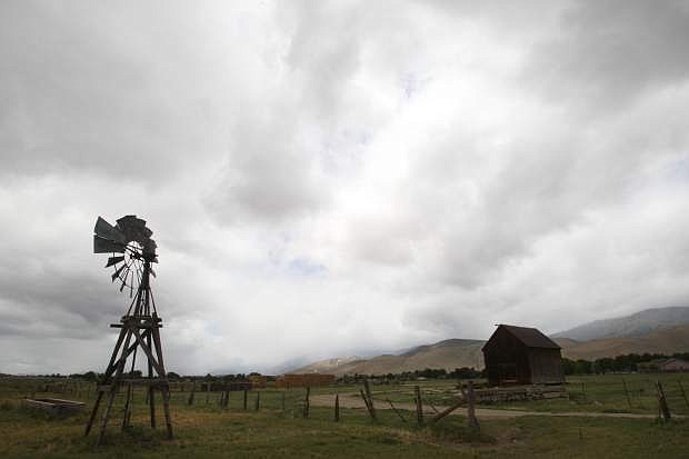
Carson City’s record low for June 25 is 30 degrees, set in 1975. It didn’t get quite that chilly Tuesday, but it felt more like winter than the fifth day of summer.
That’s because of an unusual-for-summer weather phenomenon, said Mark Faucette, a meteorologist with the National Weather Service in Reno.
He said a plume of moisture carried by mid- and upper-level winds crossed the Pacific Ocean in the past few days.
“It’s atypical for mid-June. It’s more like a wintertime event,” he said, adding, “We really don’t know if it’s ever happened before (in June), but it’s not common.”
What is common for Nevada in the summer — sunshine and heat — is set to make a triumphant return. The high today is expected to be 84 degrees, followed by 92 on Thursday, 97 on Friday, 98 on Saturday and 99 on Sunday, according to DayWeather. Clear skies are forecast for every day but today, when it’s expected to be mostly sunny.
The change is the result of two factors, Faucette said: a building area of high pressure over the Four Corners area that’s headed our way, and our long post-summer-solstice days.

Comments
Use the comment form below to begin a discussion about this content.
Sign in to comment