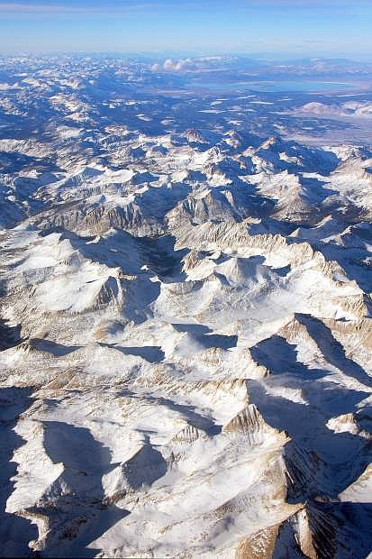
Provided to the Tribune by Jeff Pang. A 2008 aerial photo shows the Sierra Nevada snowpack near Mono Lake.
In order to get an accurate measurement of the snow, scientists are heading to the sky.
Aerial measurements of the Sierra Nevada snowpack are expected to begin within weeks as part of pilot program to provide more accurate estimates of California’s water supply.
The Airborne Snow Observatory program will include researchers flying over the mountain range taking spectrometer readings to measure the snowpack’s albedo — or reflectivity — and using remote sensing technology known as Lidar to gauge the snowpack’s depth.
Sun rays hitting the snow have a much greater influence on snowmelt than air temperature. Measuring the reflectivity of the snowpack will give researchers a more accurate idea of the timing of its melt, said Tom Painter, a scientist with NASA’s Jet Propulsion Laboratory and the principal investigator with the Airborne Snow Observatory.
“To be able to actually forecast the timing of snowmelt you need to be able to determine the albedo and how that is progressing,” Painter said during a Friday interview.
Existing measurement techniques — on-the-ground surveys and remote sensing stations — only provide part of the picture, Painter added.
“It’s a stunningly limited amount of information,” according to the researcher, especially given water’s importance to the state’s nearly $2 trillion economy.
Snow sensors can be unreliable and aren’t able to measure the snowpack as it retreats into the upper elevations of the mountain range. Manual snow surveys, often conducted on cross-country skis, also aren’t able to reach late season water reserves of the High Sierra.
The uncertainty in the water supply estimates leave water managers hedging their bets about how much water will make it to reservoirs by season’s end, said Bruce McGurk, a researcher with the program and former manager at the Hetch Hetchy Reservoir in Yosemite National Park. With demand for water at an all-time high and climate change impacting the timing of snowmelt, this traditional hedging is coming with greater degrees of uncertainty, according to the researchers.
“Everybody’s looking at you to do a better and better job and your tools are getting worse and worse, until ASO comes along,” McGurk said.
The existing snow surveying program will remain, but the aerial surveys are likely to become a bigger part of how California, and possibly the rest of the world watches its water, Painter said.
“I don’t see it replacing it,” he said. “There’s great utility in actually knowing what’s going on on the ground.”
The program — a partnership between NASA’s Jet Propulsion Laboratory and the California Department of Water Resources, among others — will start with the Tuolumne River Basin, where weekly flights expected to start in two weeks. It will likely be several years before the flights are a routine practice for a wider swath of the mountain range, Painter said.
“Having this really robust measurement of the timing and magnitude of snowmelt takes us into the maturity of water resource management,” he said.
“The whole point of ASO is to take our forecasting and monitoring up to the next level,” McGurk added.

Comments
Use the comment form below to begin a discussion about this content.
Sign in to comment