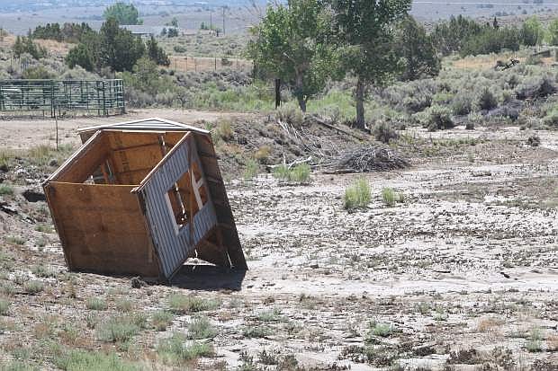
A children's playhouse was washed away during Sunday's flooding in Fish Springs.
A 100-year flood originating from Hot Springs Mountain was a left cross that hadn’t been anticipated by either residents or the county.
A sudden deluge on July 20 dropped 1.21 inches of rain in 80 minutes on the mountain located near the Douglas-Carson line just east of the Carson River.
Also affected were residents along Long Drive at Sunridge Golf Course, who were flooded by the sudden rainstorm from Indian Hills.
Neither the residents of Buckbrush Estates nor the Sunridge location were in a 100-year floodplain, according to county maps.
County Engineer Erik Nilssen said people who don’t live in flood areas mapped by the federal government aren’t required to purchase flood insurance, but they can. Flood insurance in those areas tends to be less, starting at $129 a year, according to the FEMA website.
Douglas County’s fight with Federal Emergency Management Agency was over the maps where people are required to buy flood insurance if they have a federally guaranteed home loan, officials said.
The residents who live below Hot Springs Mountain are not on a mapped and studied floodplain, but Nilssen said that doesn’t mean it’s not a floodplain.
“Any place that receives water during a runoff event is technically a floodplain,” he said. “A Federal Emergency Management floodplain is an area that has been studied and has been determined that it will receive greater than 1-foot of water during a 100-year peak runoff event.”
Buckbrush Wash which intersects with Stephanie Way is in the 100-year flood plain.
“With that in mind there are areas off of Hot Springs Mountain that produced flooding, but either the area has not been studied to identify it as a 100-year FEMA floodplain or it does not reach the 1-foot depth of water required to be mapped as a FEMA floodplain,” Nilssen said. “A FEMA floodplain is just a tool to help mortgage companies identify who needs to have flood insurance for a federally backed mortgage, but is not intended to state absolute flood risk.”
Had the county declared a disaster and the state concurred, residents would have been eligible for low-interest loans to help clean up.
Douglas County has opened a third site to drop off debris from the July 20 flood.
Nilssen said there are no flood control structures in the Pine Nut Mountains, which might have helped stem the floods in East Valley and Fish Springs.
“Douglas County currently has a grant application in to evaluate a potential dam with upstream storage on Smelter Creek, which would remove 98 parcels from the primary floodplain in Ruhenstroth,” he said. “Additional upstream storage locations on the Johnson Lane and Buckbrush Washes are a priority to Douglas County. Douglas County identified ‘upstream attenuation’ as a priority project in the 2012 ‘Discovery Report for the Carson River Watershed,’ which was submitted to FEMA through the Carson Water Subconservancy District.”
Workshops were held in the late 1990s to discuss flood control above Johnson Lane, but construction and maintenance costs were determined to be prohibitive.
Flooding in Carson Valley and Topaz Ranch Estates also affected driveway culverts, in some instances excavating them entirely.
“Driveways are the responsibility of the homeowner,” Nilssen said. “The county is responsible to clean the culvert under the driveway and maintain the roadside ditches. This is why the county requires that the culverts be a minimum of 15 inches in diameter. The property owner is responsible to maintain the driveway themselves or install a new one, if they wish to have one.”
Damage in Fish Springs and East Valley was mostly limited to roadways.

Comments
Use the comment form below to begin a discussion about this content.
Sign in to comment