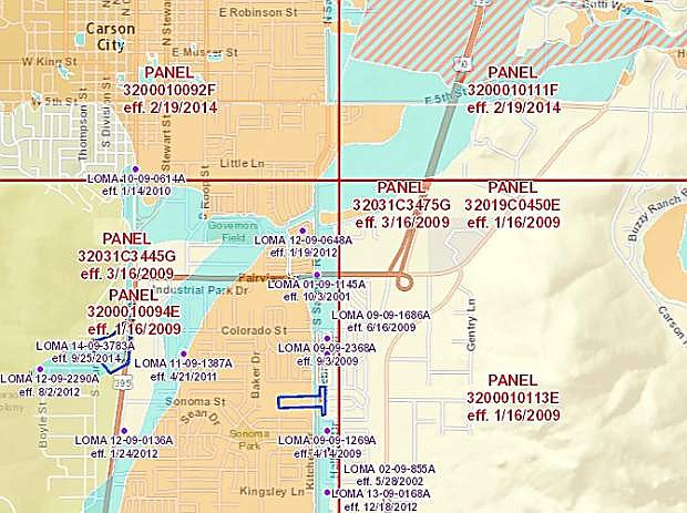
A screen shot of the flood zones in areas of Carson City.
Carson City Public Works is remapping the city’s flood zones.
The changes mean some property owners may be able to drop flood insurance if their area is no longer designated a flood hazard.
“It takes some out of a floodplain and puts some in, but more are coming out than going in,” said Robb Fellows, senior project manager, stormwater.
The city is working with the Federal Emergency Management Agency, which approves so-called FIRM — Flood Insurance Rate Map — maps that determine whether anyone with a federally-backed loan on their property must carry flood insurance.
The remapping effort came about, said Fellows, because many existing maps are based on old, outdated data.
Some data was different due to changes on the ground since the area was last mapped, such as the freeway extension here and the northwest drainage project built in conjunction with it.
And new technology for creating the maps makes for more accurate data overall, said Fellows.
In 2008, FEMA paid for a study and the city decided to start with Kings and Ash canyons.
“We’ve been working our way around the city,” said Fellows.
In 2014, maps for the center of town were updated and the southwest map should be completed in December.
Now, the department is working on four more, including Eagle Valley Golf Course area and Goni Canyon.
The developer of the Lompa Ranch at 5th Street and Saliman Road, who’s required to do flood mitigation in order to develop the property, is working on that area.
The process doesn’t happen overnight.
The internal review at FEMA alone takes six to eight months, said Fellows.
There’s also a public review process once FEMA accepts the application.
After that, when FEMA signs off on it, the agency produces what’s called an effective map.
“That term means now the map can be used,” said Fellows.
And he cautions a property owner isn’t considered out of the flood zone, even if a preliminary map says so, until FEMA gives its final stamp of approval.
Fellows also says property owners shouldn’t rush to drop their insurance if it’s reasonably affordable.
“It’s not a bad thing to keep,” he said.
Current maps are available at the Carson City Public Library and online at www.arcgis.com/home/webmap/viewer.html?webmap=cbe088e7c8704464aa0fc34eb99e7f30 by typing your address in the search box in the righthand corner.
If you have questions about the status of the map in your area, email stormwaterhotline@carson.org or call Public Works at 887-2305.

Comments
Use the comment form below to begin a discussion about this content.
Sign in to comment