Lori Carpenter is looking for a few amateur drone enthusiasts.
“Drones are turning civilians into an Air Force of citizen scientists,” Carpenter told the audience at Tuesday’s Sierra Nevada Forums event, The Versatility of Drones, held at the Brewery Arts Center’s Performance Hall. “Who’s the next drone pilot? It’s you.”
Carpenter, a hydrologist and senior project manager with geoUAS Inc., joined a panel of drone experts, each of whom talked about different aspects of the broad and expanding world of unmanned aerial systems commonly known as drones.
Carpenter talked about several projects, including mapping the California coastline and endangered species tracking, accomplished with volunteers flying their own small, battery-operated drones, which can be piloted up to 400 feet off the ground, within line of sight, and on trips averaging 20 minutes.
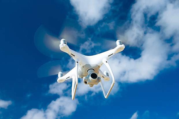
Rodd Rummel, wildland fuels management officer, Carson City Fire Department, spoke about the department’s two-year-old DJI Phantom 4, one of the most popular drones available.
The fire department uses the drone to document fuels reduction projects, videotape training exercises, investigate wildfires, and do search and rescue, among other work.
“It is another tool at our disposal,” said Rummel, who’s the only licensed drone pilot in the department.
Representatives from two Nevada drone companies also spoke about the state of the technology and where it’s headed.
Warren Rupp, founder, Nevada Technology Corp., and former director of the University of Nevada, Reno’s Advanced Autonomous Systems Innovation Center, described his company’s work on mid-sized, fuel-powered drones.
“One thing I realized running the state program was small drones are a great way to innovate in small areas,” said Rupp. “But when mapping large areas small drones just aren’t cutting it.”
So the Reno-based company he founded focuses on medium-sized unmanned vehicles — 500-800 pounds, 60-90 horsepower, and fuel-powered — which can cover more ground and stay in the sky longer.
The company is working on multi-fuels engine manufacturing to address the problem facing American defense users who can only find parts made in China and Europe.
Eric Severance, CEO, AboveGeo, said his company uses drones for data collection and analysis for myriad land management applications, including agriculture and construction.
For client Q&D Construction, for example, AboveGeo, flew property planned for a racetrack and delivered 3D modeling of how to grade the track.
“For Winnemucca Farms, we can see heat stress and crop health three weeks before the human eye can,” said Severance.
The company flies a range of drones, but Severance, like Rummel, said the drone is a tool.
“Drones are not the product here. It’s the data analysis,” said Severance. “We are drone agnostic.”

Comments
Use the comment form below to begin a discussion about this content.
Sign in to comment