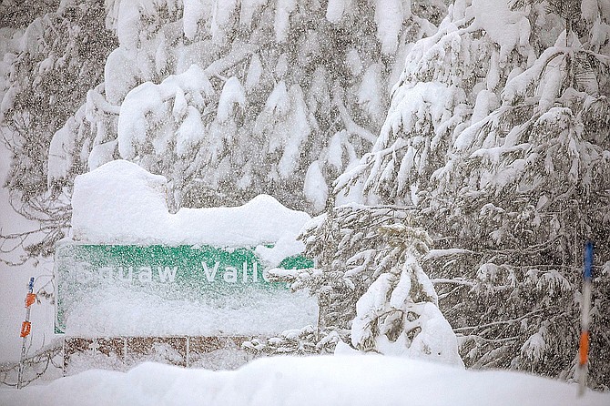
Snow levels at Squaw Valley and across Lake Tahoe are already at very high levels.
Mostly sunny conditions Monday will give way to a winter storm Tuesday. The National Weather Service in Reno has issued a winter storm watch for the Tahoe Basin from 10 a.m. Tuesday to 4 a.m. Thursday.
During that time 1-3 feet of new snow could accumulate above 7,000 feet. Lake level could see 3-10 inches of snow.
Snow levels are expected to shift during the storm. High temperatures on South Shore will reach the low 40s through much of the week.
“Snow levels will likely fluctuate a bit and they could easily rise to 7000 feet for a while and could drop down to lake level for a period on Tuesday night,” according to the weather service.
The snow is expected to be wet and heavy, which is heightening concerns about snow loads in South Lake Tahoe and other Sierra mountain towns.
Winds as strong as 80 mph are possible during the storm.
“Travel could also be very difficult, especially over the Sierra passes,” the weather service warns. “The hazardous conditions could impact the morning and evening commutes. Strong winds along with heavy wet snow could cause tree damage and power outages."

Comments
Use the comment form below to begin a discussion about this content.
Sign in to comment