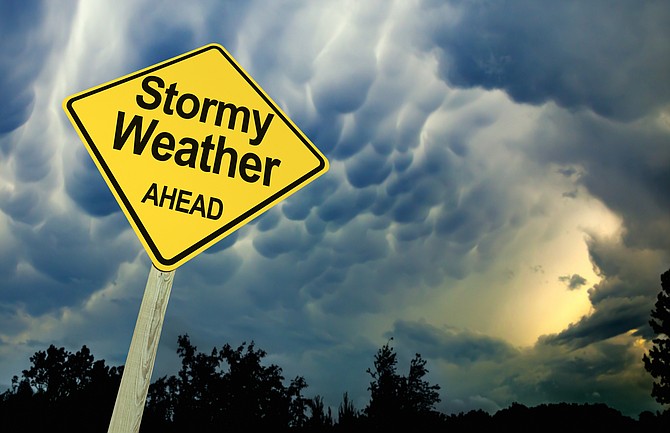
Damaging winds and up to three feet of snow in the Sierra are on tap for the weekend, according to the National Weather Service.
A high wind watch has been issued for Friday afternoon through Saturday afternoon, calling for southwest winds 20 to 30 mph with gusts up to 60 mph.
“Damaging winds could blow down trees and power lines,” the statement said. “Power outages are possible. Travel could be difficult, especially for high profile vehicles traveling on Highway 395 through Washoe Valley and U.S. Highway 95 near Walker Lake.
“Blowing dust is also possible reducing visibility when traveling on I-80 from Imlay to Fernley and U.S. 95 north of Fallon.”
A winter storm watch has been issued for Saturday afternoon through Monday morning, with 1 to 3 inches of accumulation possible in Carson City, four to 10 inches above 5,500 feet including Virginia City, and up to three feet possible for higher elevations along the Sierra crest.
In Carson City and western Nevada, periods of snow are possible Saturday night through Monday morning.
“Significant snows are likely in the Sierra with lengthy travel delays possible,” the NWS statement said.
“The best time to travel over the Sierra this weekend is Friday through Saturday morning. Those attempting to travel over the Sierra passes Saturday afternoon through Monday morning should be prepared to sit in their vehicle for 6 hours or more.”
Cold conditions will continue into early next week, with additional snow accumulations possible mainly in the Sierra.
The storm could have an impact on the Monday morning commute with slick roads, especially above 5,000 feet.
THE CARSON CITY FORECAST
Thursday night: Clear, with a low around 30. Northeast wind 5 to 10 mph becoming light and variable in the evening.
Friday: Sunny, with a high near 66. West wind 5 to 10 mph increasing to 10 to 15 mph in the afternoon. Winds could gust as high as 25 mph.
Friday night: Mostly clear, with a low around 35. Breezy, with a southwest wind 20 to 25 mph, with gusts as high as 45 mph.
Saturday: A slight chance of rain and snow before 11 a.m., then a chance of rain. Snow level 4,700 feet rising to 5,500 feet in the afternoon. Mostly sunny, with a high near 53. Windy, with a southwest wind 25 to 30 mph, with gusts as high as 55 mph. Chance of precipitation is 30%. Little or no snow accumulation expected.
Saturday night: Rain likely before 8 p.m., then rain and snow likely between 8 p.m. and 2 a.m., then snow likely after 2 a.m. Snow level 5,400 feet lowering to 4,600 feet after midnight . Mostly cloudy, with a low around 31. Windy, with a southwest wind 20 to 30 mph decreasing to 10 to 20 mph in the evening. Winds could gust as high as 55 mph. Chance of precipitation is 70%. New snow accumulation of 1 to 2 inches possible.
Sunday: Snow. High near 43. Chance of precipitation is 80%. New snow accumulation of 1 to 2 inches possible.
Sunday night: Snow likely. Cloudy, with a low around 26.
Monday: A chance of snow. Mostly cloudy, with a high near 41.
Monday night: A chance of snow. Mostly cloudy, with a low around 23.
Tuesday: A chance of snow. Mostly cloudy, with a high near 44.
Tuesday night: A chance of snow. Mostly cloudy, with a low around 22.
Wednesday: A slight chance of snow. Partly sunny, with a high near 45.

Comments
Use the comment form below to begin a discussion about this content.
Sign in to comment