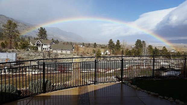
Gary Boudreau took this photo of a rainbow off Foothill and Centerville roads in Gardnerville on Friday morning.
Gary Boudreau took this photo of a rainbow off Foothill and Centerville roads in Gardnerville on Friday morning. Bonnie Matton also sent in a photo of a rainbow above Dayton Valley.
The rain is supposed to start this afternoon before turning to snow late tonight or after midnight. Snow is expected in the Sierra until Saturday afternoon.
Check nvroads.com before traveling.
Winds gusting in excess of 100 mph over the top of the Sierra knocked a truck on its side and downed power poles in Reno, triggering power outages ahead of a storm packing heavy snow.
A winter storm warning remains in effect until 10 a.m. today for the Lake Tahoe area, where 1 to 3 feet of snow is forecast in the highest elevations and up to a half-foot at lake level.
The National Weather Service says sustained winds of 93 mph were recorded near the Mount Rose Ski Resort southwest of Reno with gusts to 135 mph shortly after 11 a.m. Friday.
Six power poles snapped along the highway linking south Reno to Tahoe, leaving more than 3,000 people without power Friday afternoon. No one was hurt when the truck blew over between Reno and Carson City.
In Carson City, multiple power outages were reported. As of 3:45, more than 1,800 people were reported without power. Power was reported to all but 40 Carson City customers by 4:15.
In addition, power was at at the Summit shopping center in South Reno with power lines down and about 25 crews of personnel working at the scene Friday night.

Comments
Use the comment form below to begin a discussion about this content.
Sign in to comment