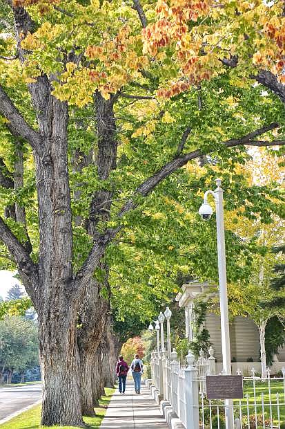
A pair of women recently walk along West Robinson St. adjacent to the Governor's Mansion as the fall colors take shape. The fall weather we've been enjoying, though, is expected to give way to a winter storm this weekend.
A winter storm is forecast to move into Northern California and northwest Nevada beginning Friday. Snow is expected to impact travel in the Sierra Friday night through Sunday with periods of windy conditions, rain and snow.
Gusty winds, rain, and snow are expected to begin Friday with periods of moderate to heavy rain and snow Friday night into Saturday. Additional light snow is possible Sunday night into Monday.
For Western Nevada the forecast calls for gusty winds Friday and Saturday with the best chance for rain and snow Saturday morning into the afternoon. Snow levels are expected to fall below 6,000 feet by Saturday evening. A secondary wave will bring additional chances for rain and snow Sunday night into Monday morning with snow levels in the 4,500-5,500 foot range.
For Carson City the National Weather Service forecast calls for a 20 percent chance of rain today, a 40 percent chance tonight and an 80 percent chance Saturday. By Saturday night there will be a 50 percent chance of rain and a 20 percent chance of rain on Sunday.
By Sunday night the forecast calls for a slight chance of snow and rain but by Monday the forecast calls for rain and snow which will obviously affect Monday morning’s commute. High and low temperatures are forecast to be 54 and 36 for today, 51 and 30 for Saturday and for Sunday a high of 47 with an overnight low of 26. Peak winds could be as high 30 mph in Carson City over the weekend, according to the National Weather Service.
A conservative estimate is the Carson Pass will see 18-24 inches of snow this weekend, with up to 3 feet arriving should the storm be colder and wetter.
As rain and snow is forecast in Northern Nevada, the Nevada Department of Transportation is prepared to help keep roads clear.
“Keeping drivers safe and connected is our top priority,” NDOT Director Rudy Malfabon explained. “And, as we are every year, we are fully stocked and prepared to remove snow and ice and help keep state roads clear.”
This weekend’s impending storm has prompted the California Department of Transportation to close Ebbetts, Sonora and Tioga passes over the Sierra.
Highway 4 from Silver Creek Campground to Lake Alpine closed at noon Thursday while Sonora Pass closed from Pickel to Kennedy meadows at midnight.
Both California and Yosemite National Park closed the eastern gates at 5 p.m. Thursday.
Monitor Pass will remain open unless weather conditions force its closure.
The partial reopening of the passes depends on the weather, according to CalTrans, which will assess them on Monday.
For road conditions in Nevada, visit nvroads.com. In California road conditions are available at quickmap.dot.ca.gov.

Comments
Use the comment form below to begin a discussion about this content.
Sign in to comment