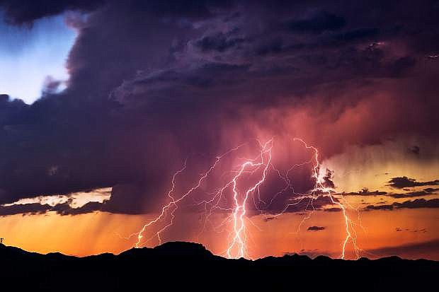
Powerful lightning bolts strike from a sunset thunderstorm in the Arizona desert.
Scattered showers and thunderstorms are in Carson City’s forecast for Monday afternoon and a flash flood watch remains in effect until 9 p.m., according to the National Weather Service.
Chance of precipitation is 50 percent Monday afternoon and rises to 80 percent Monday night.
Monday’s high is forecast for 91 degrees, the NWS reports.
The pattern will be similar on Tuesday and Wednesday, with a chance of showers and thunderstorms beginning at 11 a.m. and ending at 11 p.m. each day.
In the second half of the week, conditions dry out and high temperatures rise slightly to a forecast of 95 degrees Thursday, Friday and Saturday before a slight drop to 93 degrees on Sunday.
The detailed forecast from the National Weather Service:
Monday night: Showers and thunderstorms before 11 p.m. Low around 61. West wind 5 to 10 mph, with gusts as high as 20 mph. Chance of precipitation is 80 percent.
Tuesday: A 20 percent chance of showers and thunderstorms after 11 a.m. Mostly sunny, with a high near 92. West wind around 5 mph becoming northeast in the morning.
Tuesday night: A 30 percent chance of showers and thunderstorms before 11 p.m. Mostly clear, with a low around 60. Southwest wind 5 to 10 mph.
Wednesday: A 20 percent chance of showers and thunderstorms after 11 a.m. Sunny, with a high near 94. Southwest wind around 5 mph.
Wednesday night: Mostly clear, with a low around 60.
Thursday: Sunny, with a high near 95.
Thursday night: Mostly clear, with a low around 59.
Friday: Sunny, with a high near 95.
Friday night: Clear, with a low around 59.
Saturday: Sunny, with a high near 95.
Saturday night: Mostly clear, with a low around 60.
Sunday: Sunny, with a high near 93.

Comments
Use the comment form below to begin a discussion about this content.
Sign in to comment