
Broadbent & Associates has completed an aerial mapping assignment in effort to help Maui recover from fire damage. Courtesy
Broadbent & Associates has completed an aerial mapping assignment in effort to help Maui recover from fire damage.
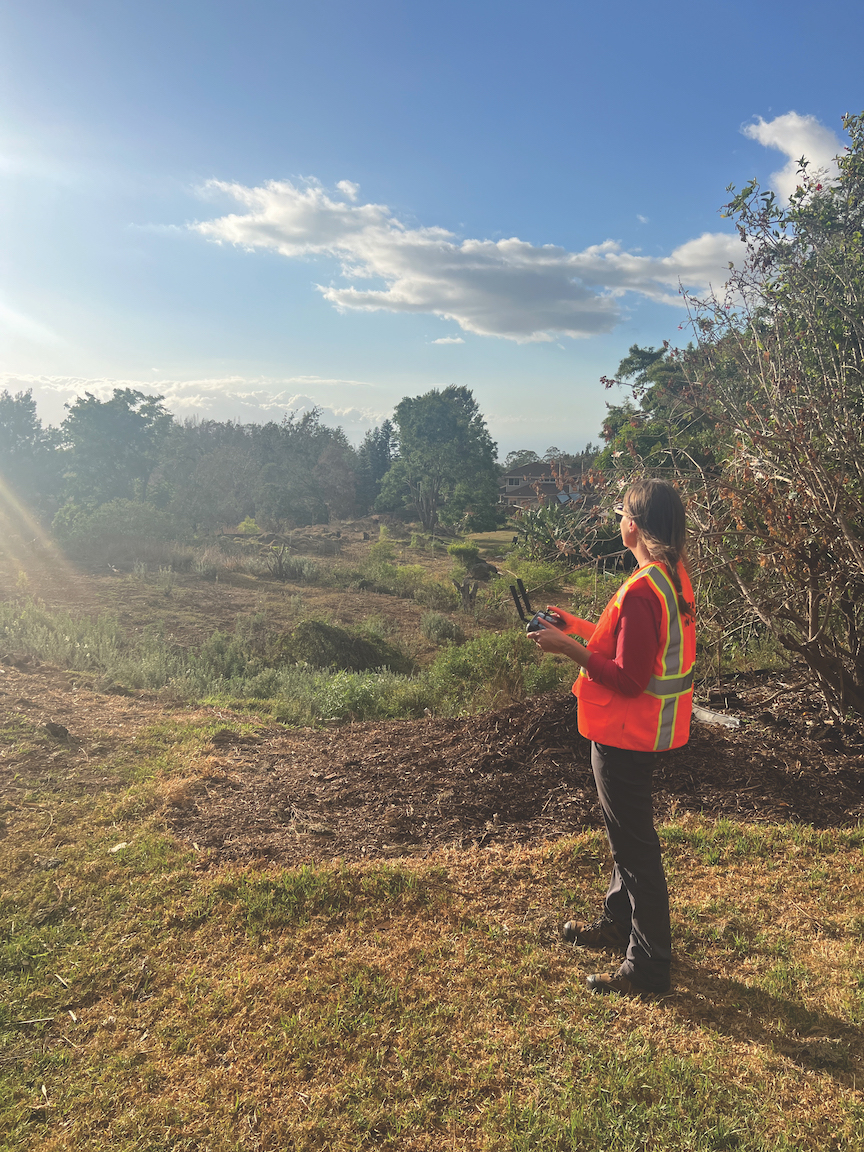
The assignment incorporated the use of unmanned aerial systems to map impacted fire zones, assisting with surveying, removing, and disposing of household hazardous waste and asbestos containing material.
For Broadbent’s commercial drone pilots, Neil Ellis and Holly Miller, the UAS mission aimed to utilize drones for burn-scar aerial mapping, digital surface modeling, and analysis of post-disaster conditions over three impacted fire zones totaling 5,000-plus acres.
In addition to large-scale aerial mapping tasks, EPA tasked Broadbent’s UAS team with multiple assignments including surface overland flow modeling for ash and contaminant runoff management, post-disaster 3D modeling and documentation at culturally significant locations for Hawai’i and Maui cultural representatives, and coastline mapping for debris assessments.
Broadbent deployed 16 professionals to support the recovery efforts.
For information, visit www.hawaiicommunityfoundation.org.
 Broadbent & Associates has completed an aerial mapping assignment in effort to help Maui recover from fire damage.

Comments
Use the comment form below to begin a discussion about this content.
Sign in to comment