Shannon Litz / Nevada Appeal
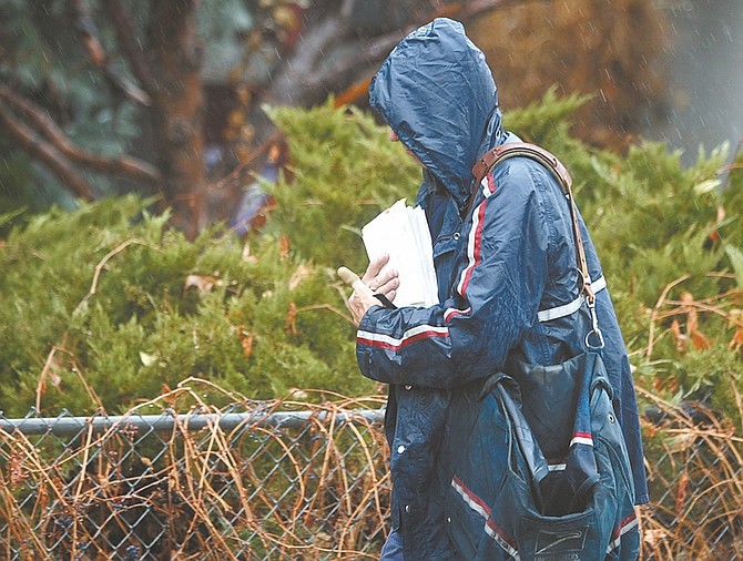
Northern Nevada authorities declared a state of emergency and piled sandbags Friday ahead of an intense storm packing heavy rain, strong winds and fears of widespread weekend flooding in the Reno area.
The Nevada National Guard, state Division of Forestry and other emergency relief agencies mobilized after the National Weather Service issued a flood warning for the length of the Truckee River.
The National Oceanographic and Atmospheric Administration predicts the Truckee River will reach near 8 feet between 3 a.m. and 3 p.m. Sunday - flood stage for this portion of the river is 4.5 feet, according to a late Friday afternoon statement from Placer County.
Moderate or minor flooding is possible with the Truckee River in Reno, NWS reports, and in other areas in the Reno/Sparks, Carson City and Minden/Gardnerville areas, as well as in the Sierra foothill communities of Grass Valley and Nevada City.
Washoe County Emergency Manager Aaron Kenneston told reporters in Reno that officials were preparing for what could be the worst flooding in many years.
The concern about potential minor flooding prompted authorities in Carson City and Storey County to make sandbags available.
Carson City announced Friday that sandbags would be available at Public Works Corporate Yard on Butti Way. The city also urged anyone with flooding issues to telephone city dispatch at 887-2012.
In Storey County, preparations included plans for sand or sandbags in several areas.
"Our area of primary concern is the river area," said Storey County Manager Pat Whitten, who said both the Truckee River in the Lockwood area and a creek in the northern part of the county could swell and cause problems.
Whitten said other areas of concern included Mark Twain Estates, near Dayton, and Virginia City Highlands. In Lockwood, sand was available at 400 Ave de la Colors; in Mark Twain Estates at Fire Station 73, 500 Sam Clemens; and in Virginia City Highlands at Fire Station 72, 2610 Cartwright Road.
"With the potential for localized flooding, sandbags and sand will be available for the public," Whitten said, adding that residents should bring shovels to fill the sandbags.
Weather Service meteorologist Brian Brong in Reno said warnings like the ones issued Friday were typically seen in Nevada only once or twice in a decade.
Reno spokeswoman Michele Anderson said city employees would work overtime through the weekend to control what was expected to be the worst flooding since 2005.
Rain fell throughout Friday afternoon, and weather reports projected more than a 50 percent chance of precipitation continuing during the night and upgrading to a 90 percent chance today. Sunday's precipitation projection was set at 100 percent. Gusty winds were expected to continue.
Rainfall amounts of 2 to 4 inches are possible in the foothills west of Highway 395, with amounts of 0.75 to 1.5 inches likely along valley floors in Reno, Carson City and Minden. In the Carson City area, relatively mild daytime temperatures in the low 50s today and Sunday were expected, along with lows in the mid-to-low 30s at night.
Sparks and Reno were expected to get about 1 1/2 inches of rain and minor flooding along the Truckee River, while mountain areas around Lake Tahoe were expected to get up to 8 inches of rain.
Snow levels with the second system will start near 7,500 to 8,000 feet and may rise as high as 10,000 feet early Sunday morning. Snow levels should lower Sunday, but may not fall below 8,000 feet until Sunday afternoon.
More than 40 sandbag locations were set up in Reno, Sparks and Washoe County for residents looking to fill bags during the weekend.
County authorities told residents to monitor the streams and ditches around them, avoid driving unless "absolutely necessary" and take important documents and pets with them in the event of an evacuation.
The Red Cross designated Sparks High School as an evacuation shelter.
Kenneston said he did not expect the emergency in northern Nevada to be as severe as the major floods of 1997 and 2005, when the snowpack was heavier and reservoirs were fuller.
U.S. Sen. Harry Reid said he asked the Federal Emergency Management Agency and the Army Corps of Engineers to "be prepared for the worst."
Gov. Brian Sandoval said he would also be monitoring the situation through the weekend.
"I want to assure all Nevadans that the state is prepared for the anticipated flooding in the Reno and Sparks areas," he said.
Nevada had not closed any roads by Friday evening, but authorities were warning Northern Nevada residents to be vigilant for mudslides and falling rocks. Nevada Department of Transportation spokesman Scott Magruder said heavy rain could pry boulders loose from cliffs and leave them in the path of motorists.
"It could be the size of a bowling ball, it could be the size of a Volkswagen. You just want to be careful," he said.
Authorities postponed weekend Christmas parades and tree lightings in Truckee and Sparks.
Truckee Assistant City Manager Alex Terrazas said the priority was ensuring the safety of residents and homes.
"Folks that live near the river here should be concerned," he said.
• Nevada Appeal reporter John Barrette, Sierra Sun Editor Kevin MacMillian and The Associated Press contributed to this report.

Comments
Use the comment form below to begin a discussion about this content.
Sign in to comment