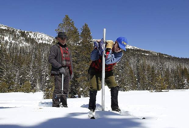
Frank Gehrke, chief of the California Cooperative Snow Surveys Program for the Department of Water Resources, plunges the survey tube into the snowpack as he conducts the third manual snow survey of the season at Phillips Station on March 1 near Echo Summit.
STATELINE — Though South Shore residents have been enjoying a stretch of bluebird skies, a storm is scheduled to hit this weekend to kick off what could be another wet winter month ahead.
“We are looking for a storm to come in around (this) afternoon through Sunday afternoon. It’s a pretty decent cold storm. We are expecting 1 to 2 feet of snow above 7,000 feet with potentially up to 10 to 18 inches below that,” said Zach Tolby, forecaster with the National Weather Service in Reno.
Carson City could see rain today and snow on Sunday. Temperatures today will range from 36 to 49 degrees, and drop further on Sunday to between 24 and 38 degrees. A wind advisory is in effect from 4 through 10 a.m. today with the strongest winds expected this afternoon and evening. Winds southwest 20 to 35 mph are predicted with gusts up to 55 mph. Wind prone areas could see gusts up to 70 mph.
“After the storm goes past this weekend, we will get some dry weather probably most of next week,” said Tolby, “and then it does look like there are some indications that we could get back into a wet pattern closer to the middle of March.”
Though forecasts more than a week out are difficult to determine, Tolby noted the NWS is able to examine the probability of atmospheric rivers hitting the area.
“Those really moist, subtropical storms that we’ve been getting a lot of this year,” said Tolby. “There are some pretty good indications that going into 10 days out we could go into a fairly wet pattern with some atmospheric river storms moving into the area.”
This year has already brought an above average number of atmospheric river storms to Lake Tahoe.
“Usually we get a couple a year, maybe three to five, and that is our overall average, but in California and the Sierra we have pretty wide swings. Sometimes we will get zero or one, and then this year we have gotten 10 or 12,” said Tolby.
And that has translated into some serious snowpack for the Sierra Nevada.
Data collected by the California Department of Water Resources on March 1 from its 98 stations scattered throughout the mountain range revealed the water content of the northern Sierra snowpack — the depth of water that would result if the entire snowpack melted — is 39.2 inches or 159 percent of the multi-decade average.
Heavenly Mountain Resort has recorded 556 inches of snow over the season, Kirkwood Mountain Resort has tallied 578 inches, and Sierra-at-Tahoe has logged 492 inches.
As of March 2, the lake level is at 6,226.74 feet — 3.74 feet above the natural rim. Since Oct. 1, Lake Tahoe has risen roughly 3.5 feet.
Climatologist Michael Anderson describes this winter as “historic” — but it’s not over yet.

Comments
Use the comment form below to begin a discussion about this content.
Sign in to comment