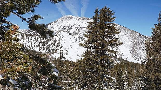
Anyone planning to travel through the Sierras this week should be prepared for winter driving conditions, the National Weather Service Reno office cautioned Tuesday.
This week’s weather reports indicate an active week of storms, with rain and snow expected in the valleys, including Carson City, through Saturday, according to NWS meteorologist Scott McGuire. The first wave already hit Tuesday, and more significant systems will move in Wednesday and Thursday, he said.
The best chance for snowfall comes Saturday between late morning and afternoon, and significant accumulation occurs above 7,500 feet.
With a cold air mass in place, temperatures will remain in the 30s and 40s throughout the day dropping down to as low as the teens at night in western Nevada. Today would be the warmest day. By next Monday, the forecast is expected to drop down to 12 degrees.
“lt’ll be pretty chilly,” McGuire said.
McGuire said as far as rainfall as of Tuesday morning, the region’s only seen about a couple hundredths of an inch collectively, but with additional waves coming, that could increase.
“Things are pointing to active going into December,” he said.

Comments
Use the comment form below to begin a discussion about this content.
Sign in to comment